

What Do The Different Colored Roads Mean On Waze?
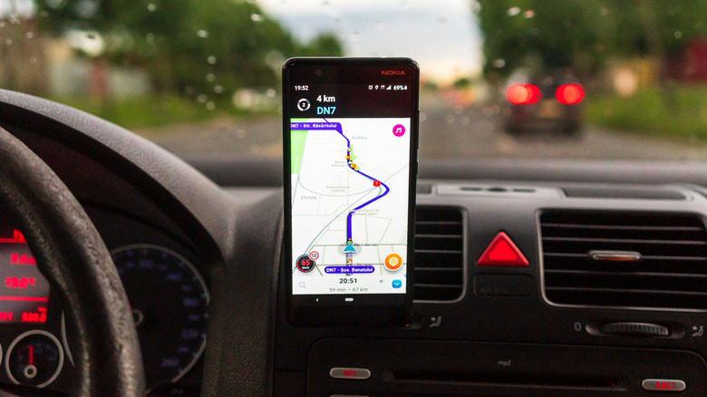
When it comes to reliable navigation apps, some drivers prefer to use Waze, as it can help you reach your destination and has features that you're probably not using. But it's hard to ignore the different colored roads that appear on Waze, which may make some think it's a random design choice. The truth is that Waze uses five colors to show traffic conditions on its app, ranging from green to dark red.
Waze uses the color green to indicate that drivers are moving at the posted speed limit, while the color yellow represents a light amount of traffic. But as congestion increases, the color changes from yellow to light red for moderate traffic and congestion that's a bit more obvious. Red indicates a heavy amount of traffic, which could mean some delays are possible. The final color, dark red, represents stop-and-go traffic where vehicles are barely moving, if at all.
This color-coding system lets users see where different levels of traffic are occurring on the Live map. In addition to this system, Waze also has the Unusual Traffic list that flags locations where drive times are much longer than expected. When this happens, the app produces a link to the best alternate route, if there is one. The Waze feed can even include road closures caused by significant traffic events like construction, as well as special events like parades.
How Waze identifies traffic problems
The traffic colors that drivers see on Waze are also used in a tool called the Waze-o-Meter. But this tool isn't actually something that everyday users can regularly access through the Waze navigation app. Instead, the Waze-o-Meter is part of the Traffic View in Waze's Partner Hub. Waze partners can click to highlight the affected areas on a Live map, while clicking the color again removes the highlight. This allows partners to focus on specific traffic levels in the area that they're monitoring.
The Waze-o-Meter is part of Waze for Cities, a program that allows both Waze and government agencies to share data related to traffic and roads. This program allows participating organizations to share updates about crashes, construction, and other useful information. One of the tools Waze for Cities provides is Traffic View, which gives partners a way to monitor traffic conditions in their area. Traffic View also compares current conditions with historical traffic data and provides real-time travel information for those routes.
Additionally, Waze can identify when traffic falls outside of the normal pattern for a specific day of the week and time of day. These unusual traffic alerts can include a variety of information, including what is actually causing the slowdown. The app can also give insights from real-time reports submitted by Waze users. The system can then identify traffic trends that may help partners anticipate how such conditions could develop in the first place.