

This Is The First Satellite Constellation Made To Detect Wildfires Before They Grow
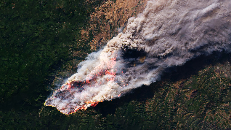
There is very little doubt that global warming and climate change are increasing the number, size, and intensity of wildfires across the globe. Indeed, according to NASA research, both the northern and western forests of North America are among the areas hardest hit by the rise in extreme wildfires. The wildfire "season" also seems to be getting longer, too. For instance, in the Western U.S., the fire season is now more than a month longer than it was 35 years ago.
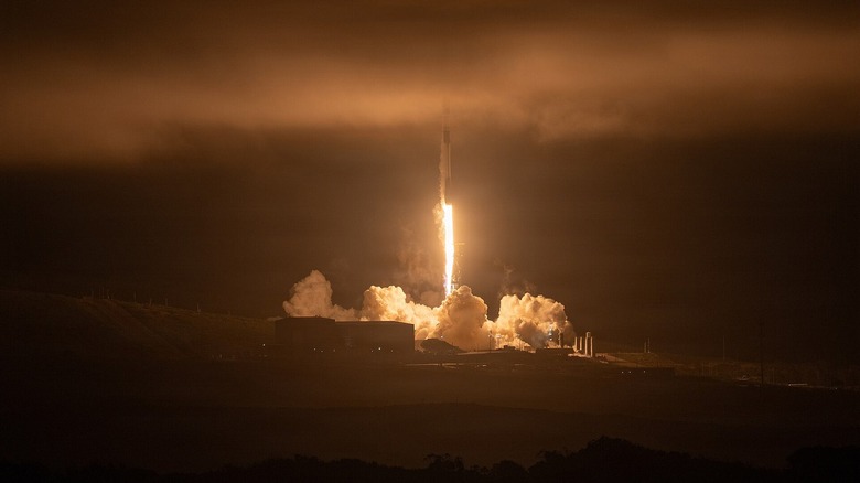
As wildfires continue to spread at increasing rates, scientists have needed to develop more sophisticated technology to detect them. One such technology involves using a satellite constellation called FireSat to spot wildfires early. Launched on July 7, 2026 aboard SpaceX's Transporter 17 Mission, the FireSat constellation currently has three active satellites. The system has already been tested with the launch of a prototype satellite known as "Protoflight," which spent a year in orbit capturing over 1 million multispectral infrared images. It successfully detected wildfires and even detected a small roadside fire in Oregon that other systems had missed.
The project is led by Muon Space, which is working with various partners to get the system operational. The non-profit Earth Fire Alliance (EFA) is one of the main stakeholders, with additional support coming from Bezos Earth Fund, the Betty Moore Foundation, and Google, among others. While this is certainly a more expensive option than the student-built drone designed to help solve America's wildfire problem, the team behind it hopes it can save more than $1 billion annually in fire damages in the U.S. alone.
How the FireSat satellites work
The first three operational satellites are built on the Condor-M satellite. Modular spacecraft designed specifically for low-Earth orbit, the FireSat satellites are fitted out with a multispectral infrared imaging system that captures six different bands of infrared light. The wide spectral range allows the satellites to detect fires as small as about 16 square feet, even through cloud or smoke cover. It also helps the system eliminate false positives and detect fires at lower temperatures. Impressively, each spacecraft covers a swath of land roughly 930 miles per pass.
The Muon Halo platform on which the constellation is based provides the technology required for FireSat's real-time processing. It probably isn't a surprise to find out that AI is also being used. With contributions from Google, AI is used to help the system process the information in nearly real-time. The system works by comparing the current photo with thousands of others from the same spot. AI takes into account the weather and various other factors before determining if a "thermal anomaly" is actually fire.
With the current trio of satellites, the system can image fire-prone locations on Earth roughly twice a day. However, by the time the full 50 planned satellites are launched, it's hoped that each location on Earth will be imaged once every 20 minutes, with vulnerable areas imaged more frequently. The next step for EFA and Muon Space is to be able to image vulnerable areas hourly by 2029.
Why FireSat matters
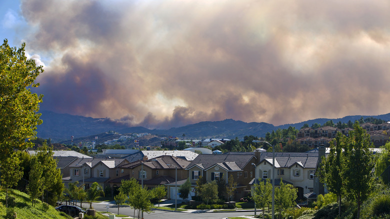
The last few decades have seen wildfires become faster, hotter, and more destructive. Droughts and rising temperatures are adding the "fuel" needed for such fires to proliferate, with higher nighttime temperatures also important as cooler nights used to help slow the progress of fires. While wildfires are a natural phenomenon, human activity is behind many of them, with one of the leading causes of wildfires sitting in your driveway (your car).
According to the National Interagency Fire Center, there have been 41,984 fires across the U.S. between January 1, 2026 and July 24, 2026, affecting over 4 million acres. For comparison, there were 39,279 fires recorded, affecting just shy of 3 million acres, in the same period in 2025. In fact, wildfires account for around half of all annual tree losses across the globe. In addition to the risk that fires pose to civilians, firefighting personnel, and property, research shows that smoke from wildfires is also resulting in poor air quality that can lead to or exacerbate health issues.
This is why FireSat is so important. Its ability to spot even small fires and report them to the relevant authorities in near real-time could greatly reduce how many of these fires become uncontrollable. While FireSat satellites may not yet be considered among the most important satellite launches in history, they certainly have the potential to save lives, property, and wildlife.