

GPS Satellites Are Doing A Lot More Than Just Helping You Navigate
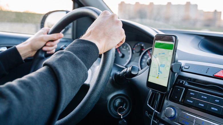
It's easy to forget just how complex the system powering your car's satellite navigation system really is. Select a destination and it'll give you a set of directions to get there as quickly as possible, with most navigation systems automatically accounting for the current driving conditions, congestion, and any road closures.
In order to function, these systems rely on a network of satellites orbiting Earth. Each satellite emits a signal, and when your car or smartphone receives a signal from one of them, it can detect how far away it is from that satellite. To work out its position accurately, it needs to receive signals from at least four of these satellites.
While drivers will likely be most familiar with GPS from their in-car navigation systems, it's used for a whole lot more besides that. As well as helping cars navigate, GPS trackers can also be used to keep tabs on the location of a car remotely. This can help locate cars if they're stolen, and it can also be used by rental companies or fleet managers to monitor a vehicle's location, speed, and acceleration. The main downside is that GPS car trackers usually require a monthly subscription to use. That has led some drivers to use AirTags instead, but since Apple's trackers rely on Bluetooth rather than GPS, they're not as accurate nor as reliable.
There are plenty more uses for GPS trackers
As well as tracking cars, several companies also offer GPS tracking devices for pets. SlashGear tested out one GPS pet tracker, the Invoxia Minitailz, in 2024, and we were impressed by the accuracy that the tracker provided. GPS is also important for aircraft navigation and tracking, with aircraft broadcasting their GPS location via the global ADS-B network.
A pilot can see exactly where they are based on their onboard GPS, while their prior flight path is marked as a continuous line on flight tracking software. In some cases, pilots can even get creative with this tracking software, with one British pilot using it to write "I'm bored" in the sky during a July 2026 test flight, according to the BBC.
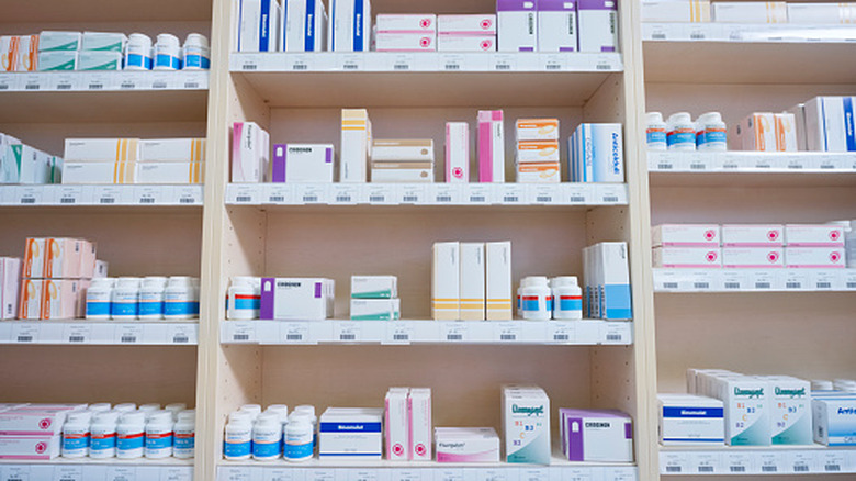
Law enforcement have also used GPS in unexpected ways, with the New York Police Department deploying decoy drug bottles that contained GPS trackers in 2013. The bottles were indistinguishable from standard pill bottles at first glance, and were designed to combat the increasing number of violent pharmacy robberies that were happening in New York City.
If a thief stole the decoy bottle, the police would be able to track the stolen goods in real time. The bottle trackers proved effective at tracking robbers, and since then, enforcement agencies in other cities have set up similar thief-tracking systems. In 2022, Baltimore officials left GPS-tracked decoy parcels out to catch porch pirates after an increase in thefts from doorsteps.
Scientists can use GPS receivers to monitor eruptions and earthquakes
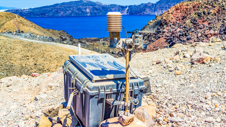
One of the most unexpected uses for GPS is to track volcanic activity. By placing a network of GPS receivers on the ground around a volcano, scientists can detect rises or falls in the ground surface. When these data points are fed into a computer model, they can be used to construct an image of underground magma movements. In order to accurately build a picture of those movements, these GPS receivers have to be far more accurate than an average in-car GPS receiver, and they can pinpoint their location to within a fraction of an inch.
A similar system is used to track the impact of earthquakes. The United States Geological Survey uses a network of GPS receivers set up near fault lines to precisely measure any deformations in the ground. There are currently multiple different GPS earthquake monitoring networks across the U.S., with the majority located in the west of the country.
Although for most people, GPS remains primarily useful to help them get from A to B, the uses for the technology continue to expand. In its earliest days, GPS might have been a tool for navigation, but today it's much more than that.