3 Android Features That Will Make Your Next Hike Even Better
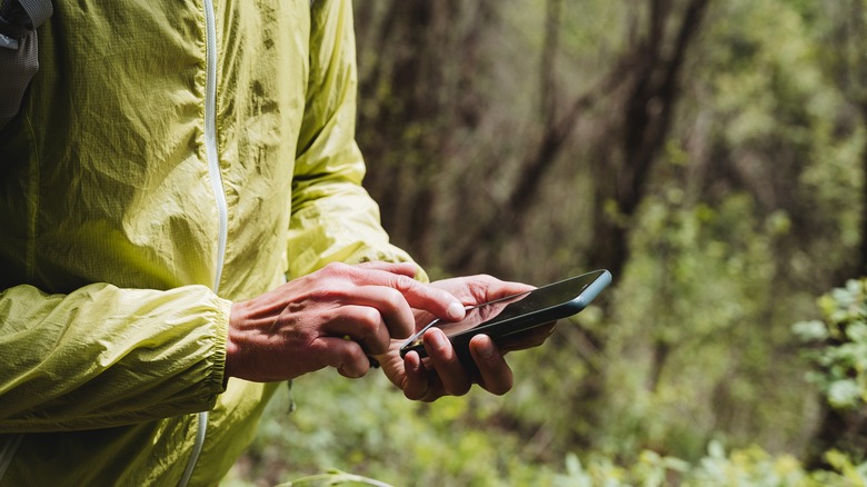
No matter how you feel about the omnipresence of smartphones, you can't deny that they have made our lives easier. If you hike often, you know exactly why. It's not that you shouldn't have a map and a compass on you when going on a hike, but having both in a pocket-sized device that can also make emergency calls and snap photos, seems far more convenient.
Besides, there are countless Android apps that make hiking a safer and more enjoyable experience than ever. An accurate and reliable weather app is a must for every hiker. If you're more than a casual weekend backpacker, a good fitness app is essential as well. But you don't have to spend a fortune on various gadgets or a brand new smartphone to make your next hike even better. Here are three Android features you can use the next time you venture into the great outdoors.
Google Lens
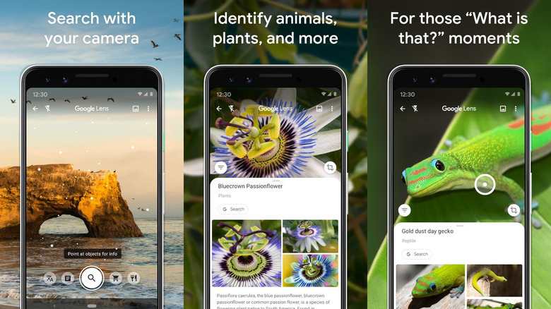
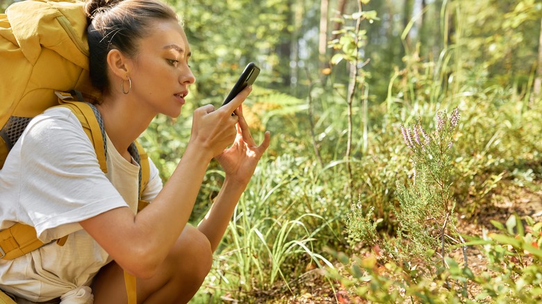
Not too long ago, identifying objects around you with a mobile device seemed like something straight out of a science fiction novel. That technology is widely available today, thanks to products like Google Lens. With Google Lens, you can identify plants, trees, animals, insects, hills, mountains — you name it — on your next hike.
The Google Lens app is free and available for download on the Google Play store. On most Android smartphones, you don't have to download or install anything, as the feature is integrated into the Google search widget on your home screen. To launch it, tap the camera symbol in the search bar. Point the camera at the object you want to identify, as if taking a photo, and Google Lens will do the rest.
It's also worth noting that Google Lens can translate text in real-time. If you ever find yourself hiking in a foreign country, that will definitely come in handy.
Bear in mind that Google Lens requires an active internet connection to function properly, so if you're planning to venture far from cell towers, have a limited data plan, or are visiting a country with high data charges, Google Lens may not work as you expect.
Photo geotagging
If you document your hikes, you get to relive the experience months and years later. The problem is that when you hike often and take a lot of pictures, it's easy to get things mixed up. If you want to know exactly where you were when you took a photo or recorded a video, you need to enable photo geotagging on your smartphone. Here's how to do that:
- Launch the "Settings" app, and scroll down to Location.
- If location services are off, move the slider to the right to turn them on.
- Tap "App Permissions".
- Locate your camera and gallery apps, and allow them to use your precise location.
Note that the process may vary slightly depending on the smartphone model and Android version, but it's almost identical on all Android-powered devices, and you should have no problem following the steps outlined above.
To test if geotagging is enabled, snap a quick photo, open it in your gallery app, tap the three little dots in the lower right corner, and select "Details" from the menu — that's where you'll find the location info.
Offline maps
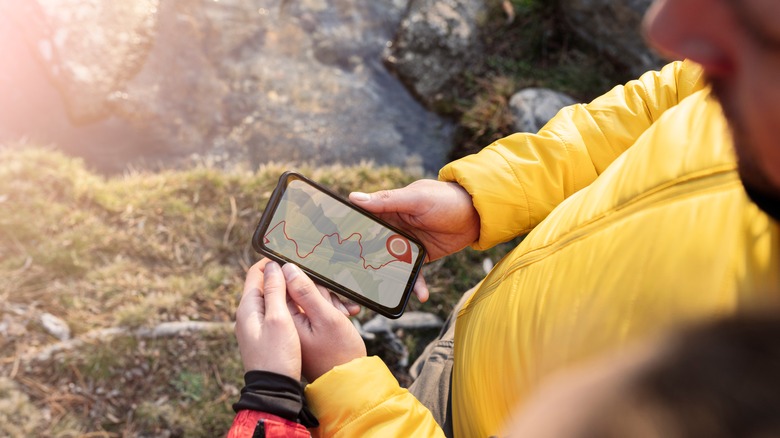
Numerous map and navigation apps are available on Google Play. Many of them are great for exploring urban areas, but few are well-suited for hiking. As a hiker, you need an app with an abundance of trails that also works offline, and those aren't easy to find.
AllTrails, for example, is a great navigation app for hikers. It can be used for free, but the paid version ($2.99 per month) offers additional features and allows you to download maps. The app uses a combination of verified and user-generated routes, which can be great if you're in the mood for a challenging hike.
Gaia GPS, meanwhile, is a great choice for experienced hikers willing to spend $59.90 per year on a membership fee.
Google Maps comes pre-installed on Android smartphones, and yours is likely no exception. It's not ideal for hiking, but it can be a decent solution if you don't plan to deviate from popular, established trails.