

What's A Smart Buoy And How Does It Work?

There's been a rise in tech innovations on the water, from electric boats to the integration of smart gear. The tech renaissance isn't just onboard, either, it's also extended to floating platforms like smart buoys, though that term covers a wide range of devices and use cases.
At its core, the term smart buoy indicates a floating monitoring platform, and can incorporate diverse elements from traditional buoys, weather stations, water quality labs, or location trackers/navigational aids. Unlike a conventional buoy, which can impart critical information about hazards or safe channels (like orange buoys, reserved for informational/regulatory info), smart buoys are data gatherers. They harvest information from the water over time and transmit it back to shore or beam it to other users.
A great example is the Chesapeake Bay Interpretive Buoy System. Its National Oceanic and Atmospheric Administration (NOAA) smart buoys carry sensors to collect a range of data covering meteorological and physical conditions, water quality, water level, chemical concentrations, and more. A single station may combine a weather station with water quality instruments and sensors to measure wave and current intensity.
From readings to decisions
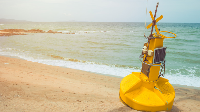
Of course, just floating around collecting data doesn't make a buoy "smart", per se. A smart buoy is also capable of reacting to conditions without requiring direct manipulation from a user. An intelligent system might take samples at specific intervals or only under certain conditions, automatically report glitches or malfunctions, or blast an alert when a measure crosses a predetermined threshold.
Buoys can fill in gaps that aren't practical for human marine scientists to cover. They can operate over very long periods of time in hard-to-reach or inhospitable settings, for example, and give researchers an otherwise inaccessible view into some of the ocean's most mysterious corners. NOAA buoys designed to monitor the ocean can either drift across the surface of the water, or may remain moored in a specific area to monitor changes over years (or even decades).
They can also keep watch for potentially dangerous weather phenomena. One example is NOAA's DART system, which stands for Deep-ocean Assessment and Reporting of Tsunamis. The surface buoy is one piece of a larger system that also includes bottom-pressure recorders to detect small changes in water pressure often associated with passing tsunamis. The buoy acts as a middleman in this system, receiving info from the sensor below by acoustic relay, then passing it on by satellite to tsunami warning centers. This can potentially provide life-saving prep time for vulnerable communities onshore, or even nearby cruise ships, which can be especially vulnerable to tsunamis.