

What Does Google Maps' Red Dotted Line Mean?
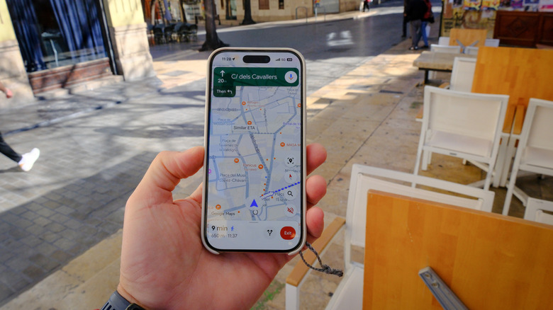
Google Maps is one of the most popular navigation apps globally, with over 2 billion active users. But its functionality is not limited to navigation. You can use Google Maps in a number of other ways, like finding new places, checking reviews, and exploring cities. At the same time, you may have noticed that when you search for a city, town, or country, Google Maps generally shows a red dotted line around it. This is different from the solid red line you see during navigation, which highlights traffic congestion. The red dotted line appears along the edges of the area, and it has become a point of confusion, with many users wondering what it really means. You may also sometimes see a dotted red line when looking up directions, and it means something completely different.
First, Google Maps uses red dotted lines to show geographic boundaries, outlines, or limits of neighborhoods, cities, towns, states, and countries. For instance, if you search for California on Google Maps, it shows a red dotted line around it, highlighting its boundaries. Similarly, if you search for Illinois or Chicago, or a particular neighborhood, the red dotted line shows up again, indicating the same thing. But when you see a dotted red line along a road while searching for directions or planning your next trip, it indicates a road closure, according to Google's documentation. This can help you better plan the route, especially if you are not following the suggested one.
Red dotted lines can mean different things in Google Maps
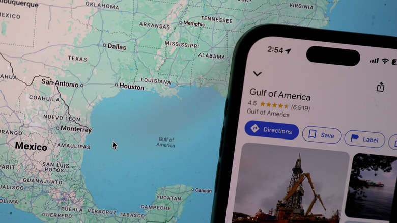
The easiest way to find out what red dotted lines mean is to identify where they are appearing. If you searched for a city, town, state, or island, the red dotted line reflects the boundary data used by Google Maps. You can check it out for yourself. Search for a locality, city, or state in the United States or elsewhere, and you may see a red dotted line highlighting the geographic boundary.
Keep in mind that you shouldn't confuse red dotted lines with international borders. Google Maps uses a different style and color scheme for international borders. For example, it uses solid gray lines for undisputed international borders, while disputed or temporary borders are shown using dashed gray lines.
All that said, you shouldn't blindly rely on red dotted lines, irrespective of whether they are highlighting geographical boundaries or road closures, because Google Maps can sometimes get things wrong. It's always better to cross-check with other sources, especially if credible ones are available. There are, of course, other useful Google Maps features that can help you with your daily commute, and these features are part of what makes Google Maps so popular.