How NASA Tracks Hurricanes - And How That's About To Get Much Better
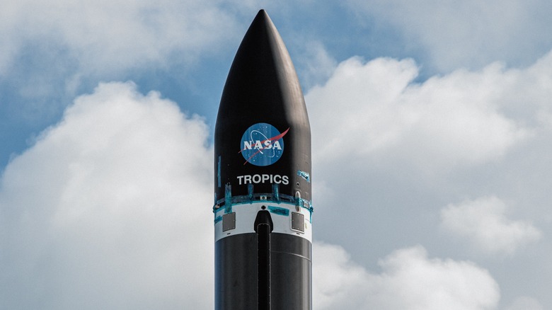
NASA has announced that its final pair of next-gen weather monitoring satellites have been successfully deployed aboard Rocket Lab's Electron launch vehicle. Dubbed "Time-Resolved Observations of Precipitation structure and storm Intensity with a Constellation of Smallsats" (TROPICS), these small satellites are a big leap in weather monitoring technology.
The first TROPICS Pathfinder satellite was launched in June 2021, and relayed its first global light images — and a view of Hurricane Ida's eye — in September. Following a launch failure in June 2022, NASA outsourced the mission to Rocket Lab; which deployed the first duo of TROPICS satellites in May, and delivered the second set weeks later.
The TROPICS CubeSat constellation — separated across three low-Earth orbital planes — will provide rapid microwave measurements using a high-performance radiometer over the tropics, all in service of studying storm systems. These satellites supposedly offer unprecedented improvements in terms of resolution, reliability, and cost-efficiency.
Payload deployment confirmed! Congratulations to the launch team on our 37th Electron launch, and to our mission partners at @NASA @NASA_LSP @NASAAmes: the TROPICS constellation is officially on orbit! pic.twitter.com/xAy7ltg7m1
— Rocket Lab (@RocketLab) May 26, 2023
Millions of people live along the coastline, vulnerable to tropical cyclones that have wreaked havoc in the not-too-distant past. Moving into the 2023 hurricane season, NASA's chief of Earth Science Division, Karen St. Germain, says "TROPICS will be in a position to provide unprecedented detail on these storms, helping us better understand how they form, intensify, and move across the ocean."
NASA says the unique inclined orbit allows these satellites to visit any area on Earth at least once each hour, a huge improvement over the observation frequency of six hours with existing satellite systems.
What improvements TROPICS offer?
Multiple passive microwave instruments have been launched into space, moving in high-inclination or polar orbits to cover large areas of the planet. Such movement trajectory takes these satellites much longer to visit the same region, which is not an ideal solution if the region experiences cyclone-like events often, and up-to-date information about growth and movement is required. So far, the Global Precipitation Measurement Mission jointly run by NASA and JAXA has relied on a constellation of satellites scattered across overlapping orbits.
These existing satellites have helped refine the sampling frequency of cyclones, but the drawback here is that each satellite has its own unique sensor hardware that takes all the readings at a different channel frequency. That means scientists have to first calibrate and then correct the data relayed by these satellites before all of it is combined for analysis. This is where the TROPICS constellation comes to the rescue and eliminates the hassle.
The TROPICS constellation comprises satellites fitted with identical sensors for temperature, precipitation, and humidity monitoring. Plus, the unique inclined orbital trajectory allows these satellites to deliver an average revisit time between 30 and 60 minutes over the same region.
That means the data they provide is as fresh as it gets, allowing higher precision in studying the evolution of cyclones. The core idea is that multiple satellites spread across orbits will offer an opportunity to collect data more frequently around the globe, improving disaster monitoring and weather forecasting.