Google Maps Update Adds COVID-19 Safety Features, Border Alerts
In a move that further solidifies Google Maps' role as de-facto location and guidance system for all smartphones, the company's added a number of safety features to the app. Centering primarily on COVID-19 issues – like social distancing – Google Maps added alerts about important safety-related information as well as a number of public transit health-related insights.
The latest update to Google Maps expands the user's ability to gain insight into potential conditions on trains, buses, and other sorts of public transit. The bit called "Transit Details" can be found in some regions of the world for Google Maps. To see if you've got access now, just look up directions in Google Maps, then "tap through" to see Transit Details.
Further, users will see "crowdedness predictions" that can be read about different points in the day. This system can also be contributed to by Google Maps users. This February 2020, Google announced that this system would also begin to include temperature, accessibility, security status onboard, and the presence of designated women's sections (in regions where transit systems include such sections.)
The big change as of this week comes in the crowdedness of your chosen form of transit. If you're living in a city where this feature was released, you'll be able to get your route in advance of your trip, then scroll forward to see historically popular times of the week and the day.
Google's pushing an update now that'll give users COVID-19 checkpoints and restrictions information for points at which national borders are crossed. This includes borders between the United States, Canada, and Mexico in this update.
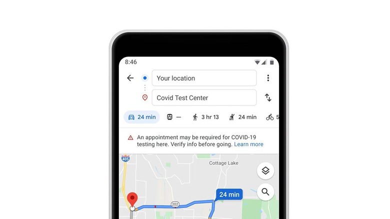
Google will also be rolling out COVID-19 public information notifications and alerts. Transit alerts were released first this week to Argentina, Australia, Belgium, Brazil, Colombia, France, India, Mexico, the Netherlands, Spain, Thailand, the United Kingdom, and in select areas of the United States.