Here's How NASA's New GOES-T Satellite Will Help With Weather Forecasts
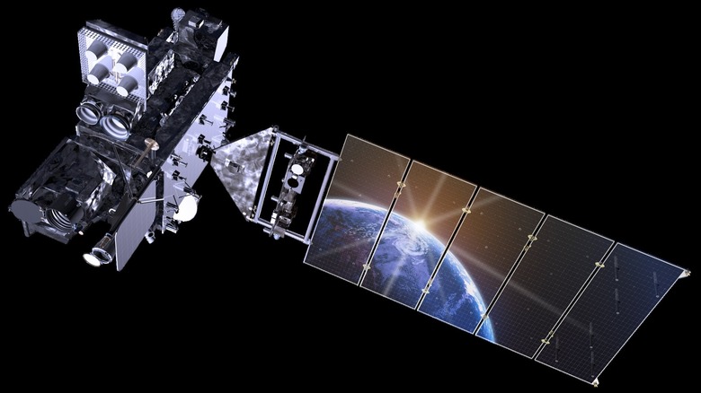
NASA has launched a new satellite for observing Earth, called GOES-T. Launched along with the National Oceanic and Atmospheric Administration (NOAA) for observing weather from orbit, the spacecraft is the latest addition to NASA's Geostationary Operational Environmental Satellites (GOES) network which predicts space weather as well as terrestrial weather here on the surface.
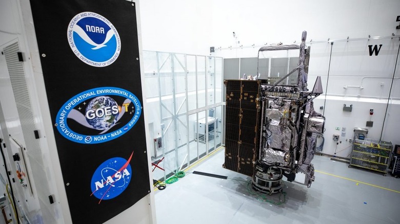
The satellite was launched at 4:38 p.m. EST on Tuesday, March 1, from Cape Canaveral Space Force Station using a United Launch Alliance Atlas V rocket. At 8:28 p.m. ET, NASA confirmed that the spacecraft had deployed its solar arrays and was operating as expected.
The GOES project has a long history of observing Earth from space, starting in 1966 with the launch of the first satellite called ATS-1. Further satellites were launched throughout the 1960s and 1970s, with the start of the modern GOES program in 1975. The first GOES-A satellite was renamed GOES-1 once it reached orbit, in a tradition that continues to this day. Once the recently launched GOES-T satellite reaches orbit, in a geostationary orbit 22,300 miles from the surface, it will be renamed GOES-18.
"We at NASA feel honored to continue to work with NOAA on this strategic and successful partnership. Besides our work on spacecraft development and launch, NASA-supported science teams are looking forward to analyzing the precious data that GOES-T will provide," said Thomas Zurbuchen, the associate administrator for the Science Mission Directorate at NASA Headquarters in Washington. "These observations are a key part of our research towards improving understanding and models of climate, weather, and space weather – models that, in turn, support NOAA's crucial work as they lead the weather and space weather forecasts for the nation."
What the GOES network does
The newly launched spacecraft is part of a series, managed by NOAA, called GOES-R. That means that NOAA is in charge of managing the spacecraft from the ground, collecting data from them, and distributing that data. Primarily, the office does this so it can observe weather systems from orbit. The newest satellite will be observing over the west coast of the U.S. and the Pacific Ocean, from where it will be able to see how weather is moving from west to east over the U.S. (via NASA). It also could help give early warnings of extreme weather events like hurricanes or storms.
The satellites collect data on things like the atmosphere, the ocean, and the local climate. But they also observe the space environment, looking at factors like space weather, which is caused by radiation emitted by the sun. NASA is involved in providing some of the instruments for the GOES satellites, like the magnetometer which detects magnetic fields,
"We at NASA are proud to support our joint agency partner, NOAA, and their mission to provide critical data and imagery to forecasters and researchers tracking hazardous weather," said NASA Deputy Administrator Pam Melroy. "While the GOES-R series satellites' main job is to help with weather prediction, these satellites produce observations that also help with NASA science. Our agencies' collaboration brings great benefits toward understanding our planet."