

What Are Those Black And White Checkered Squares On The Highway For?
Drivers encounter a lot of strange things while scampering along our nation's thoroughfares. It's bad enough that we have to avoid preoccupied drivers who think the best time to shave, put on makeup, or stare at their cellphone is when they're behind the wheel of a high-speed two-ton vehicle. We also have to deal with seemingly never-ending road construction, confusing road signs, and equally confounding collision-avoidance features like roundabouts. There is certainly no shortage of obstacles to put modern-day road warriors in a constant defensive driving posture.
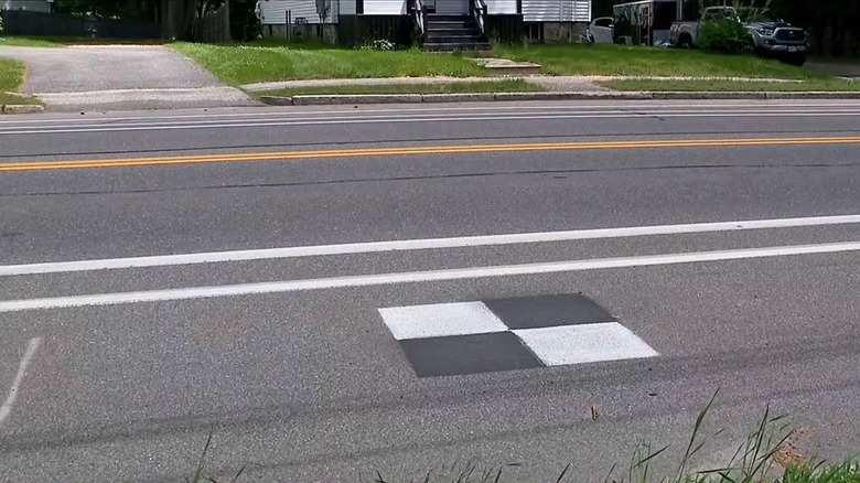
Adding to the list of distractions are black-and-white squares (sometimes as big as 4 feet by 4 feet) painted on the shoulders of some stretches of the road. They're not new per se, but they do seem to have become more prevalent in recent years. No, they're not part of the latest viral fad or challenge designed to make you hop out of the car and play some weird game of checkers. Those contrasting colored squares are actually ground control points (GCPs).
Survey crews typically use these markers as reference points to help them map out areas more accurately. According to construction monitoring firm Track3D, these GCPs provide highly accurate GPS locations that in turn allow for the creation of maps that are "geometrically correct and aligned to real-world coordinates." These reference points basically keep everything aligned with whatever project is being working on at the time. Prior to the checkerboard design, a white "plus sign" was most commonly used, but the black-on-white contrast provides a much more precise center point.
GCPs help many initiatives accurately track locations
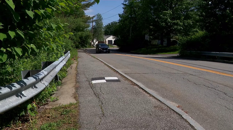
Technically, GCPs can be painted any color and made any shape, but black-and-white squares are most commonly used. A Portland, Oregon, spokesperson confirmed to the CBS 13 I-Team that survey, engineering, and construction firms all use these markers as a "normal part of land surveying and mapping processes." Meanwhile, California has used them in over 100 such projects.
Google also uses them for Google Earth. Autonomous drones, manned aircraft, and even satellites use them as geo-reference points, so an internal coordinate system of a digital map (or aerial photo) can then match a real-world ground system of geographic coordinates. Devices also use the GCPs to locate where they started, where they need to go, and, in some cases, where they need to return.
Once they're sprayed on the ground with special marking paint, they're generally allowed to dissipate on their own. Officials say the paint will vanish within a year or two, helped along by Mother Nature's sun and rain, which team up to make them fade and wash away.