NASA's Latest Satellite Launched Via SpaceX Rocket To Survey Earth's Water
We've known for a while that human beings have undeniably had a profound impact on the global climate and environment, but scientists are only now realizing just how far-reaching these effects are, and what the implications of them may be.
As a research article published by the Potsdam Institute for Climate Impact Research states, although the constructions of dams and reservoirs seem to have had a fairly insignificant impact on the long-term sustainability and stability of the water table, these interventions have led to short-term regional problems in the U.S. and Asia. As industrialization and society have advanced, increased water consumption and manipulation of the water cycle have led to drastic changes that exceed previous projections of what would be caused by global warming.
It's important to understand the effects that human beings and industrialization are having on the water cycle at a global scale, especially if we are to address issues like global warming and water scarcity in the long term. NASA and SpaceX are working together to broaden our view on the issue.
NASA and SpaceX team up to get a better view of our oceans
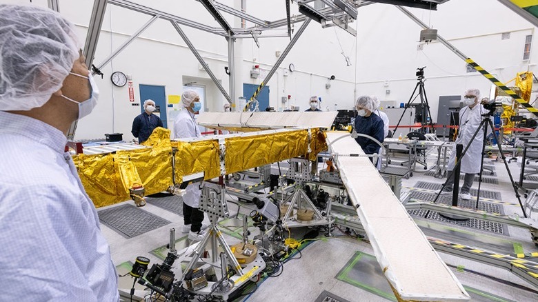
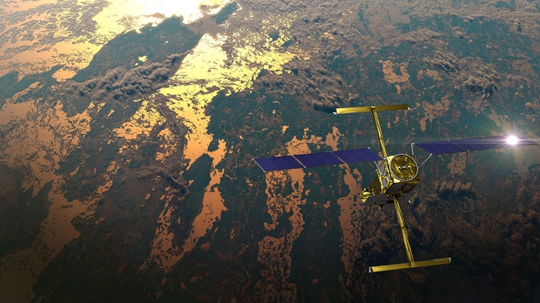
On Friday, December 16, 2022, NASA successfully launched the Surface Water and Ocean Topography (SWOT) spacecraft into orbit aboard a SpaceX Falcon 9 rocket from Vandenberg Space Force Base in California. The SWOT spacecraft was developed as a joint effort by NASA and Centre National D'Etudes Spatiales (CNES), France's national space agency, and also received contributions from The Canadian Space Agency (CSA) and The U.K. Space Agency.
SWOT's mission is to study the Earth's water and oceans across 90% of the planet's surface. NASA states that the Ka-band radar interferometer (KaRaIn) will accurately map oceans, freshwater lakes, and rivers by bouncing radar pulses off the water's surface and recording the signal it receives. According to NASA, this advanced radar tech can record the height of the water's surface within two 30-mile sectors at once. The new technology means that SWOT can cover and map the entire surface of the Earth, between 78 degrees north and 78 degrees south, every 21 days.
NASA states that the prime mission will last three years, and will complement the information researchers already have from instrumentation like tide gauges, to help determine ocean depth and measure rising sea levels. If successful, the data collected will expand the database of reliable lake telemetry from a few thousand to several millions terrestrial lakes. NASA hopes that the mission will help policy-makers and researchers better manage water resources to avoid and plan for natural disasters.