Researchers Harness A NASA Satellite To Track Microplastics In The Atlantic
Researchers from the University of Michigan have devised a way to use data collected by NASA satellites to track the movement of tiny pieces of plastic in the Atlantic Ocean. The plastic they're tracking is known as microplastics and forms when plastic trash in the ocean begins to break down from a combination of sun rays and the motion of ocean waves. Microplastics are a significant concern for the marine ecosystem as the small pieces are harmful to marine organisms and the ecosystem in general.
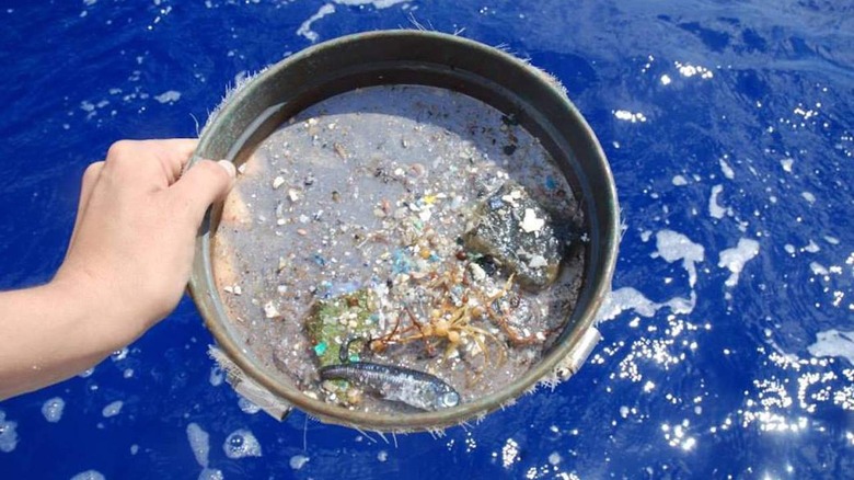
Strong currents in the ocean mean that microplastics can migrate hundreds or thousands of miles away from the source of pollution, making it difficult to track and remove the material. The main source of information about the location of microplastics comes from fishers that use nets to catch fish and unintentionally scoop up microplastics. However, researchers are now using a new technique that leverages data from the NASA Cyclone Global Navigation Satellite System, a constellation of eight small satellites designed to measure wind speed above the oceans.
While the satellites were initially designed to gather information about the strength of hurricanes, the radar used to measure ocean roughness can be impacted by factors including wind speed and debris floating in the water. Researchers were able to work backward to look for places where the ocean was smoother than expected, given the wind speed, which they thought might indicate the presence of microplastics. Scientists found that microplastics tended to be present in smoother waters, demonstrating that satellite data could be used as a tool to track the debris from space.
With the new tool to track the plastics, scientists will be able to easily determine where the source of the pollution is coming from and potentially clean the pollution from the oceans. The study results were published on June 9 in the IEEE Transactions of Geoscience and Remote Sensing.