NASA Shares Sentinel-6 Michael Freilich Satellite's First Data
NASA's Sentinel-6 Michael Freilich satellite has been in orbit and performing its checkout and calibration phase for the last six months. With all of the testing complete, NASA has now made the first data collected by the satellite available to users. The two data streams will be available to the public on June 22.
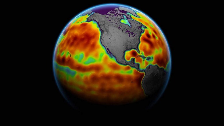
Sentinel-6 launched from Vandenberg Air Force Base in California on November 21, 2020. The satellite was built by a US-European collaboration with the goal of measuring sea surface height and other key ocean statistics, including ocean surface wind speed and wave height. One of the sea surface height data streams that NASA will release is accurate to 2.3 inches.
That data will be available within hours of when instruments aboard the satellite collect it. The second stream of data is accurate to 1.4 inches and will be released two days after collection. NASA says the difference in when the products become available helps accuracy with delivery timeliness to enable tasks like weather forecasting and to help monitor the formation of hurricanes.
Additional data sets will be accurate to around 1.2 inches and will be distributed later this year. The data is intended for research activities and climate science, including tracking sea-level rise around the planet. Sentinel-6 is able to collect measurements for about 90 percent of the world's oceans and is one of a pair of satellites that compose the Copernicus Sentinel-6/Jason-CS mission.
NASA plans to launch the second satellite, known as Sentinel-6B, in 2025. The two satellites compose the latest in a series of spacecraft that started with the TOPEX/Poseidon duo in 1992 to gather precise ocean height measurements. NASA also notes that scientists have spent time cross-calibrating data from Sentinel-6 with data gathered by Jason-3 to ensure continuity of measurements between the satellites.