How To Virtually Explore The Landscapes Of Mars In 3D
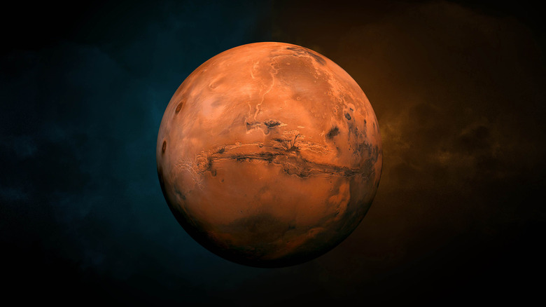
If you've ever wanted to skim the surface of Mars, now you can. The U.S. Geological Survey (USGS) has released a huge trove of digital renderings of the red planet, showing its topography in three dimensions. The project used supercomputers and cloud computing to process huge amounts of data from spacecraft orbiting Mars, and to turn it into terrain models which show the peaks and valleys of the planet.
In total, the project has released more than 4,800 digital terrain models showing the landscape in three dimensions as well as over 150,000 extremely high-resolution images showing the planet in two dimensions.
To get the data for the models, the researchers used the Context Camera on the Mars Reconnaissance Orbiter, looking at overlapping images of the same area. By looking at the slight differences between two views of the same spot, computers can work out what the three-dimensional shape must be.
The project also used the high definition images captured by the High Resolution Imaging Science Experiment (HiRISE) camera on the Mars Reconnaissance Orbiter. This camera was designed to take large, color images of the planet's surface.
While the data will be invaluable for scientific research, it is also available to the public so that anyone who is interested can get an in-depth look at the complex surface of Mars. "Now anyone on the planet with a smart phone can search, use, and marvel at these data," said the leader of the data processing team at USGS, Jay Laura.
How the data was processed
Collecting all of the data to make maps like this is one thing, but even armed with thousands of images of the planet from above, there's still a lot of work to do to make a usable terrain model.
The team started off with pairs of overlapping images, using the differences between the two to work out topography data with advanced computer processing. These individual models then had to be fitted to a global map of Mars, by looking at low-resolution topography maps and dropping the new, higher-resolution topography sections on top. Several hundred models were added at a time, then a supercomputer was used again to align them more precisely.
The supercomputer used was the USGS Denali super computer, and it was needed because the processing would have taken years or even decades on a typical desktop computer.
In total, nearly 5,000 terrain models have been produced so far. But the researchers want to keep working on the project, using image pairs from other instruments to create even more models.
"These data are important because they democratize the availability of high-quality Mars topographic data," Laura said. "Getting consistent, well aligned results is not easy. We felt it was important to generate and release these products so that others could freely access the data. When these data are highly accessible, anyone can contribute to scientific discovery."