NASA Gives Climate Change Skeptics The Melting Ice Data To Crunch Themselves
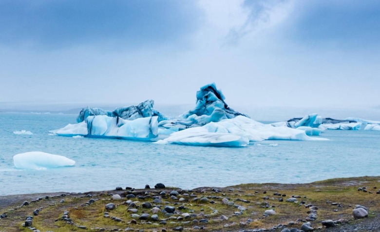
NASA has announced the availability of ICESat-2 global data containing height measurements for regions around the globe, including measurements of the sea ice around Antarctica and glaciers in Greenland. The Ice, Cloud, and land Elevation Satellite-2 (ICESat-2) was launched in September 2018; it uses 10,000 laser pulses per second to take height measurements in what NASA calls 'unprecedented detail.'
The ICESat-2 has spent months recording polar height data, a mission that kicked off with the first ICESat satellite that operated from 2003 to 2009. NASA used its Operation IceBridge project to fill the gap between the two ICESat missions, but the latest ICESat-2 offers the most measurements of all efforts thus far.
To put the work in perspective, ICESat-2 took more measurements in its first week of operation than the original ICESat took in its entire lifetime (2 billion).
Among other places, ICESat-2 is busy measuring regions across both the Arctic and Antarctica, keeping tabs on ice changes across seasons in addition to providing a look at the changes that take place over the course of a full year. The work isn't limited to just ice measurements, however — the satellite is also capturing coastal measurements by measuring the distance down to the seafloor in places where the water is sufficiently clear.
Each measurement is acquired from half a dozen lasers emitted by the satellite from around 310 miles above Earth. The highly precise data plays an important role in tracking ice changes, such as the degree of melting among glaciers, which impact the global sea level rise.
NASA has made the ICESat-2 data available to the public for free through the National Snow and Ice Data Center (NSIDC).