If COVID Crowding On Public Transit Scares You, Google Maps Could Have The Fix
While it might feel like we're coming out of the pandemic here in the US, where vaccines are easily obtainable, COVID-19 is still out there. With a significant unvaccinated population potentially giving rise to more resilient variants, it's hard to blame those who want to take more precautions when venturing out into the world. Google Maps is going to help out on that front, as it's rolling out some new features to help users around the world "navigate new normals."
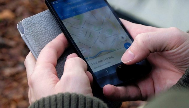
To that end, one of Google Maps' key new features is expanded crowdedness predictions for public transit. This feature already exists within Google Maps for some people, but Google announced that it's expanding it to cover 10,000 transit agencies in 100 different countries. As the name of the features suggests, crowdedness predictions will use AI, historical trends, and contributions from Google Maps users to predict how crowded a certain public transit option will be before you get on.
Google is taking things one step further in New York and Sydney, where it says it's "piloting the ability to see live crowdedness information right down to the transit car level." This data apparently comes right from the source, with Long Island Rail Road and Transport for New South Wales providing it to Google Maps. More cities will get live crowdedness information in the future, but Google didn't give a time frame for that, nor did it announce which cities are next in line.
We'll also see the addition of a new Timeline tab that will show users their monthly travel trends, including the different modes of transportation they've used throughout the month, along with the total distance traveled for each one. Google is also rolling out a Trips section in the Timeline tab that will let users revisit vacations they took in the before times and share them with friends who may be planning to visit the same places. These new features are going live on Android, with monthly travel trends requiring that location history is turned on.
Finally, it looks like Google is fleshing out location reviews a bit, prompting reviewers to share more information like whether they dined in, got takeout, or had their meal delivered. Google will also ask for price ranges, and what kind of meal they had, so assuming enough people answer those prompts, this could be useful information for those who are on the prowl for delivery or meals in a certain price range. Google says this feature is live for all restaurants in the US on Android and is in the process of rolling out on iOS, with support for more countries and categories on the way.
In a separate blog post, Google ran through the ways Maps can help you plan around COVID-19, whether that's by using the COVID layer to see how cases are trending in certain areas, making appointments and reservations through Maps, or listing COVID-19 hours and safety measures on companies' business profiles. Many of these features are live now (on Android at least) so check them out in the Google Maps app.