The iPhone 5 Crowd Could Help Apple Maps Find Its Way
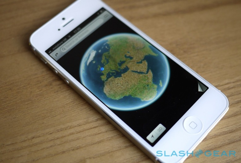
Every Apple launch has a sting in the tail, and for iPhone 5 and iOS 6 it's Maps. Ditching Google Maps and instead turning to a self-made alternative makes sense in terms of longevity, but it meant hitting reset on what had come to be relied upon as a solid and predictable user experience. Apple was going to have to take a PR hit at some point, there was no escaping it. The step back in detail from Google Maps, which has had years of refinement, to the first-gen Maps app of iOS 6, is unavoidably obvious, particularly to those outside of US cities.
Sites such as "The Amazing iOS 6 Maps" highlight the more extreme examples; for everyday users, it's more likely to be a case of a few confusing directions or mis-labeled locations that introduce a hiccup into their navigation. Turn-by-turn navigation assuages some of the pain, but it only takes one or two bad experiences with moldy data to leave users unconvinced that an app can do the job.
Obviously Apple has to address its patchy data and poor merging of map, satellite, and points-of-interest. What will be interesting is how it chooses to do that. Google has been relatively self-sufficient in its map development, sending out a fleet of Street View cars for instance, but Apple could easily augment its own data gathering with its army of iPhone owners.
Don't underestimate the loyalty of iOS users and the potential for crowd-sourced data to flood Apple's servers – if, that is, the company can make it easy enough. There's already the ability to report errors in Maps' data from within the app, flagging up wrong street labeling or missing locations, but Apple could build on that with more proactive location-gathering tools. Meanwhile, Apple's new Panorama feature in the camera app – pumping out high-resolution, seamlessly-joined scenes – could, if suitably geotagged, be repurposed to create Google Street View-rivaling sidewalk level imagery. It would take a huge quantity of data to actually fill in all the gaps, but there are a whole lot of iOS users out there.
[aquote]Apple could rely on platform zealots and mercenary interest[/aquote]
OpenStreetMap is an example of how crowd-sourcing data can come to rival "traditional" business plans. Apple, meanwhile, is in a position to rely not only on enthusiastic platform zealots but somewhat more mercenary interest too: free iTunes credit, perhaps, for those who submit the most new Maps data, or who make the most accurate edits, or who generally contribute the greatest value to the product each week or month.
There's a lot you can do by passively watching how people move about with their smartphones. Figuring out the most popular routes, for instance, or identifying points where the physical road doesn't quite match up with where your map data thinks the road is. Conversely, you can spot where that map data might have confused a road with, say, a train track – something iOS 6 Maps has been accused of – based on infrequency of use. Bake in some location ID – checking-in with FourSquare, for instance, or similar services – and you've got point-of-interest refinement too.
Apple is playing catch-up. That's not a position the company is unused to, however, and it has a track record of learning from rivals and delivering a solid and appealing alternative in its own right. What could make the difference from existing mapping services is how much Apple leverages the dedication and ubiquity of its own users, harnessing them into a cellularly-obsessed workforce both contributing to, and benefiting from, a crowd-sourced location system that Apple alone controls.