Micro Helicopters Ditch GPS And Remote Controls
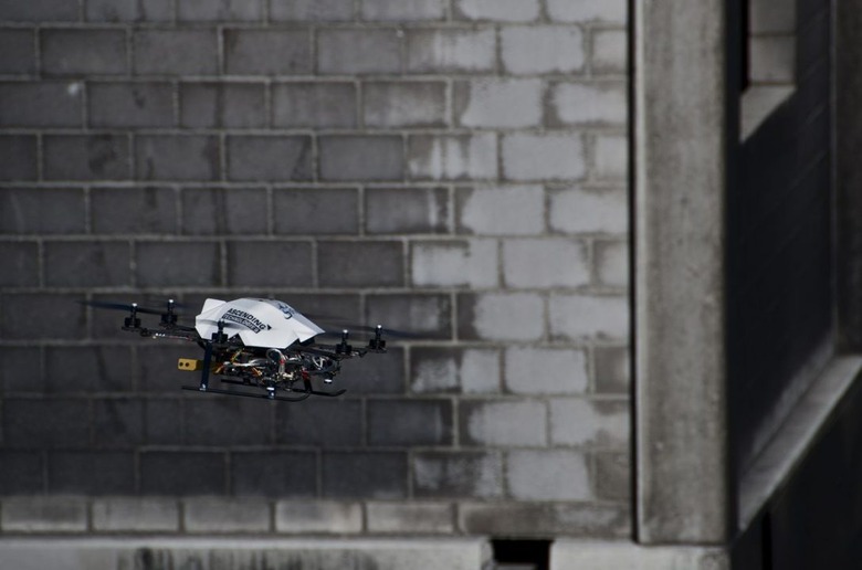
While more and more drones are finding their way into the hands of enthusiasts and being developed for different applications (including scary ones), researchers have developed a self-flying robot that can navigate using only an on-board camera and a small computer. They don't need to be controlled via remote control, or require GPS, so once you program them with the necessary instructions, they can get from point A to B by themselves.
The mini helicopters, also known as Micro Aerial Vehicles, have been in research for a while, but were often cumbersome to use, as well as unnecessarily large and bulky. The sFly project set out to change that in 2009, working on research that would allow robots without the usual restrictions of GPS. The helicopters are able to determine their surroundings using the camera, with data being sent to a computer on the ground using WiFi, tasked with creating a 3D terrain map which is then sent back to the helicopter. The stabilization and flight movements are calculated in realtime using the on-board computer with information fed to it by the camera.
The advantages to the micro helicopters include being able to work in small enclosures, and larger open-air environments, as well as being able to navigate without the use of GPS where it would be unavailable (for example, areas with large building densities). Davide Scaramuzza, project coordinate, says that GPS can often be too imprecise, with errors as large as 70 meters.
Given their small size (around 50cm), the helicopters would be ideal for disaster relief situations, such as navigating obstacles and tight spaces while finding victims. They could also be used to give a general overview of terrain in search and rescue situations.
[via ETH Zurich]