Nat & Friends take a look at the new Google Earth
Earlier this week, Google gave Earth some much-needed love. Not the literal Earth, of course, but Google Earth. More or less 10 years old, Google Earth hasn't exactly aged well with Google's other services, especially its cousin, Google Maps. With the "re-launch" of Google Earth, however, the question of how exactly was it made naturally comes up. Just like with other Google Project, Nat & Friends interview the people involved to bring that answer to the public.
First, it's Nat & Friends now, not Nat & Lo. It's a bittersweet moment for the production as this episode marks Lo's last "appearance" in the series. Started back in 2015, the two Googlers used their "20% project" time to give outsiders an inside look at how the mothership churns. And while the YouTube series will go on, it will do so without Lo.
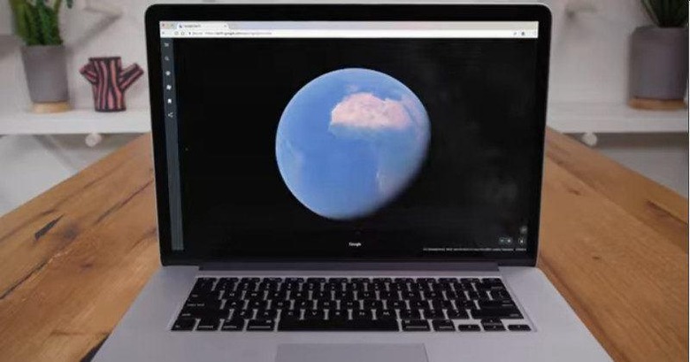
Now back to Earth. It's easy to take for granted the amount of work it takes to build the faithful recreation of our planet as we know it. Most, like Nat, would probably presume that Google simply employs its satellites to take pictures of the Earth and its cities from high above our heads. That is true, to some extent, but satellite imaging can only do so much. To be exact, it can only give Google 2D snapshots of the Earth.
To give the impressive 3D images that Google Earth offers requires a lot more taxing work and a lot more traveling. Google flies planes back and forth a single area just to take multiple pictures of that place from different angles. Of course, it involves some amount of computational wizardy to stitch up all the 2D photos into a 3D model representation of that area. It took millions of such images to compile the 3D Earth as we see it today.
You might forget or not even think of all that when using Google Earth. But if that's because you got lost in exploring the breathtaking beauty of our planet, then Google Earth is doing its job perfectly.