NASA will launch world's most advanced space laser tool to monitor Earth's ice
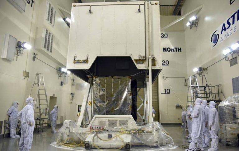
NASA is preparing to launch humanity's most advanced laser tool into space, where it will be used to measure Earth's polar ice caps. Key to the mission is NASA's Ice, Cloud and land Elevation Satellite-2 (ICESat-2), which will use the laser instrument to measure — within the width of a pencil — the amount of land ice elevation changes in Antarctica and Greenland. ICESat-2 will capture 60,000 measurements every second, says NASA.
ICESat-2 will carry the Advanced Topographic Laser Altimeter System (ATLAS). The tool is designed to shoot laser pulses at the ground, then collect the photons in a telescope when they return. The system will keep track of how long it takes for the photons to travel, converting that data into distance, then converting the distance data into height.
According to NASA, ICESat-2 will produced "the most detailed portrait yet" of heights of places on Earth, including the oceans, forests, and even clouds. Of particular interest is land ice and sea ice, which NASA will measure using the satellite. The space agency says that land ice measurements will be annually measured to within a fraction of an inch.
NASA Goddard Space Flight Center's ICESat-2 project manager Doug McLennan said:
ATLAS required us to develop new technologies to get the measurements needed by scientists to advance the research. That meant we had to engineer a satellite instrument that not only will collect incredibly precise data, but also will collect more than 250 times as many height measurements as its predecessor.
ICESat-2 is an update over the original ICESat, offering "a much more detailed view" in comparison, says NASA. According to the space agency, measurements taken by the new satellite will reduce uncertainty surrounding future sea level forecasts while making it easier to connect those changes to climate drivers.
SOURCE: NASA