Google Maps adds UK waterways as routes
Google is constantly updating the routes and maps that uses for Google Maps used by millions of people around the world to where they want to go each day. Google has teamed up with Canal and River Trust, which is the charity that will be in charge of all the UK water network starting next month. Part of the deal between Google Maps and the charity will include adding 2000 miles of canals and river paths to the Maps database.
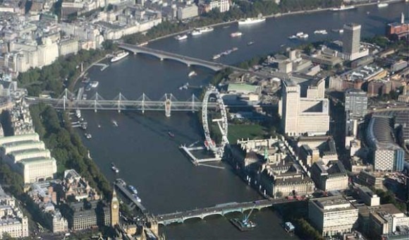
Currently, Google Maps does not list waterways is active routes that people can use to move around nearby cities. The charity in charge of the UK waterways will work with Google to identify all access points to waterways and to identify bridges and tunnels. The goal is to allow people who live near canals and waterways to be able to access them as travel locations via Google Maps.
This is a big deal for many who live in the UK near canals because by having canals Google is opening up a new, and potentially traffic free, way to get around town. I'm going to assume what Google is going for here is offering a full list of walking paths that follow alongside rivers and canals that have previously been ignored. Our resident Brits tell me water taxis in areas like London aren't available.
"Say, I'm by a canal in Paddington and I want to go to Camden, and I put this information into Google Maps as a walking route – it wouldn't send me to the canal, even though it's a nice green route to get there, it would send me by road," the Trust's spokesman Jonathan Ludford told the BBC.
[via BBC]