Google and DOE at work on electric car charging network map
I live in Texas where things are more rural in many areas. That means that we tend to drive longer distances than the people that live in cities around the country do. The heat in the south and humidity along with longer driving distances combine to make the use of EVs more of a challenge for drivers and the sale of EVs more challenging for car markers. One of the big issues in the minds of a lot of people that are considering the purchase of an EV is where they will charge when away from home.
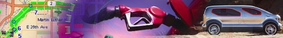
You can just plug in when you are at home and charge the EV up. When you are at the mall shopping and need to charge things are not that easy. You have to be able to locate a charging station nearby and find your way to it and that can be hard if you aren't familiar with the area. Google and the Department of Energy are working together to build a definitive map of the EV charging infrastructure around the country that is not vendor or brand specific. That means instead of the apps on the market that only show charge stations for their network, the Google/ DOE network would show any charging stations.
The project will use a GPS database system and maps. That would mean that not only would you be able to find a station in the city to charge up, you would be able to use Google maps to find your way there. Other partners on the project include makers of charging stations for EVs like Coulomb and retailers like Best Buy that have charging stations installed in their parking lots. Being able to find charging stations in the area where the driver lives is a big step towards making the use of an EV more palatable for drivers.
[via CNet]