DeepSolar Project uses machine learning, satellite imagery to calculate US solar panels
As the use of renewable energy, in this case solar power, continues to rise in the US, there's also a growing need to better understand not just how much of the country's energy comes from solar, but also how many solar panels are in use and where they are installed. While the government and utilities can offer estimates on commercial installations, the lack of data on individual residential installations makes these inaccurate. That's where Stanford University's DeepSolar Project aims to help.
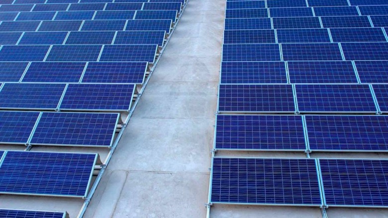
Created by a team of engineers and computer scientists, DeepSolar is designed to accurately identify the size, location, and number of solar panels in use across the US. It does this by using a machine learning framework that studies over a billion high-resolution satellite images, identifying all the visible panels positioned on rooftops and in other locations.
The scientists developed DeepSolar's algorithm by teaching it how to identify the signs of an installation, including the color, size, and texture of solar panels. Once the machine learned these characteristics, it was able to achieve a 93% success rate in correctly identifying panels in an image, while only missing panels in an image around 10% of the time, making it more accurate than any previous system.
It ended up taking DeepSolar just one month to analyze all the satellite images of the US, a task that would've taken humans years to finish. In the end it determined that the US had 1.47 million solar installations, much more than the two leading estimates stated. With this data, the hope is that DeepSolar can help the energy industry improve its understanding of how renewable energy is changing the country's power grid, and where it's growing.
The researchers admit that DeepSolar excluded sparsely populated areas in favor of urban areas, where the majority of solar panels are installed. They estimated that any installations in these remote areas would only account for roughly 5% of the total, and because of their location they most likely weren't connected to the power grid. However, the next step for the project is to begin analyzing these rural areas for solar installations, along with expanding into other countries covered by high-resolution satellite imagery.