When your MacBook's battery stops charging, before you swap it out for a new battery, try these troubleshooting steps to see if you can bring it back to life.
It's vital to protect your children from inappropriate content online. To ensure their safety, here are five of the best parental control apps for Android.
If you enjoy bird watching, ditch the binoculars and opt for one of these highly rated bird feeder cameras. Here's everything you need to know about them.
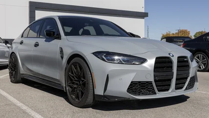
The BMW M3 series has a storied history but the debut of the S58 engine was something of a game-changer. Here's everything we know about that powerhouse.
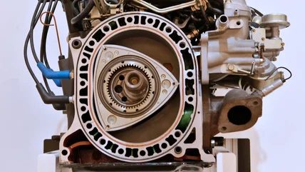
Even though the rotary engine never quite caught on, it has appeared in many notable vehicles. Here are six of the best cars ever built with rotary engines.
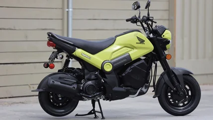
The Honda Navi is an adorable little two-wheeler with a 109-cc engine, but is it a motorcycle or a scooter? It's not an easy answer. We break it down for you.
Ford's Q1 earnings report came today and we found out that the automaker is losing an astonishing amount of money from its EVs, but there is good news.
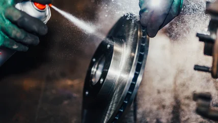
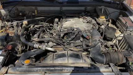
Did you use an OBD2 scanner on your car to figure out why the check engine light is on, only to get the P0303 code? Here's what it means, plus possible fixes.
Learn more about the evolution of the Honda Civic Type R, a cornerstone in the hot hatchback segment, from its beginnings to its current motorsport prowess.
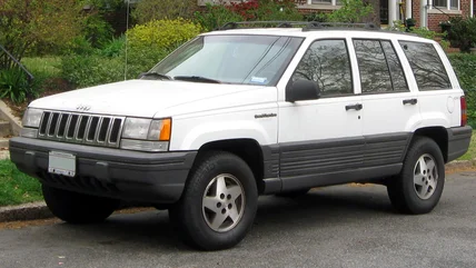
While the first-generation Jeep Grand Cherokee is considered very reliable among enthusiasts, there are certain model years that buyers should be wary of.
Yamaha offers tons of excellent audio equipment, whether it's a surprisingly capable soundbar, or an entire true surround sound system with full room coverage.
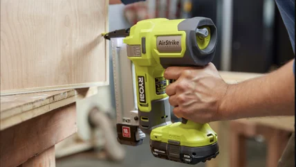
Milwaukee makes a lot of power tools these days. Here some of the company's most recent releases that we think may be worth adding to your home workshop.
The GM LS1 and LS2 are the successors of Chevy's small block V8 engine. While they share a lot in common, there are some small but significant differences.
Over the years, Nissan has produced a wide variety of vehicle models powered by different engines, but here are the most underrated to ever be under the hood.
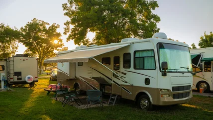
Before you hit the road in your RV or travel trailer for the first time, it's a good idea to check out these five essential Harbor Freight accessories.