Google Maps update makes it easier to pick up grocery orders
Following a small launch in Portland earlier this year, Google has announced the widespread rollout of its new grocery pickup feature for Google Maps. The feature simplifies the grocery pickup process by integrating order features into the Maps product, enabling Google users to see when their order is ready and more using the same app that provides directions to the grocery store.
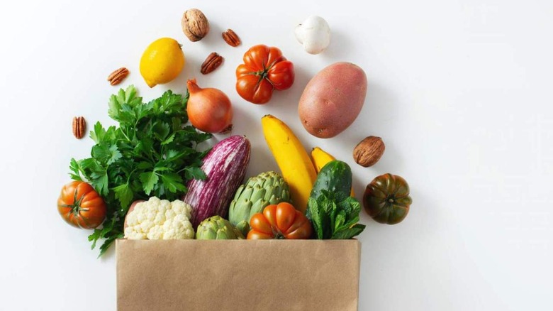
Grocery pickup services skyrocketed in popularity last year due to the pandemic and the number of people who were no longer willing to shop in person. Many retailers rolled out their own curbside pickup services, which allow customers to pull into a parking spot, alert the store that they've arrived, and then pop their trunk so that an employee places the bags directly in their vehicle.
Many retailers have integrated their pickup services into their own apps or, in some cases, leveraged existing on-demand shopping platforms like Instacart. This means consumers usually have to toggle multiple apps, using one to check their order status and alert the store when they've arrived and a different app to navigate to the store.
Google aims to simplify this process by adding these features to its Maps product. With the grocery pickup features, users can place their order through the retailer, then use Pickup with Google Maps to view the order's status, let the store know when they've left home, and alert the store when they've arrived for pickup.
Google Maps supports around 2,000 retail stores belonging to Marianos, Kroger, Fry's, and Ralphs in 30 states. Google Maps shows the store the customer's real-time location as they drive to the shop, which, according to Google, cuts down on the wait time between pulling into a parking spot and having the groceries placed in their vehicle.