Google Earth Update Removes Undersea Grid That Sparked Atlantis Furor
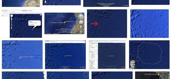
A while back Google Earth started using images of the oceans to allow people to explore the depths and see the terrain under the sea. Some geeks who were exploring the new service discovered what appeared to be a grid-like pattern on the sea floor. Since the grid resembled city streets, some started calling the grid the site of the fabled lost city of Atlantis.
However, Google said that the grid was actually caused by overlaying data sets from the sonar data used to map the ocean floor. It has taken a long time, but Google has finally updated the application to remove the grid-like features from the ocean floor ending the talk of Atlantis once more. Apparently, the grid on the bottom of the ocean in the area that sparked Atlantis rumors wasn't the only place in the ocean mapping that had errors.
The updates have removed of almost all those errors from the maps and specifically removed the Atlantis rumor site. Along with the update also comes improved accuracy for the ocean maps with the program now said to have 15% of the sea floor images taken from sonar soundings at a resolution of 1 km. The earlier version of the software only had 10% of the seafloor provided from sonar soundings with the bulk of the data provided by scientists using satellite exploration.
[via MSNBC]